Research and collections
Search the catalogue to find and explore the Library's vast collections or let us guide you through some of the rich collections by subject, format or provenance. You can also learn more about how we build, care for and support research into the Library's collections.
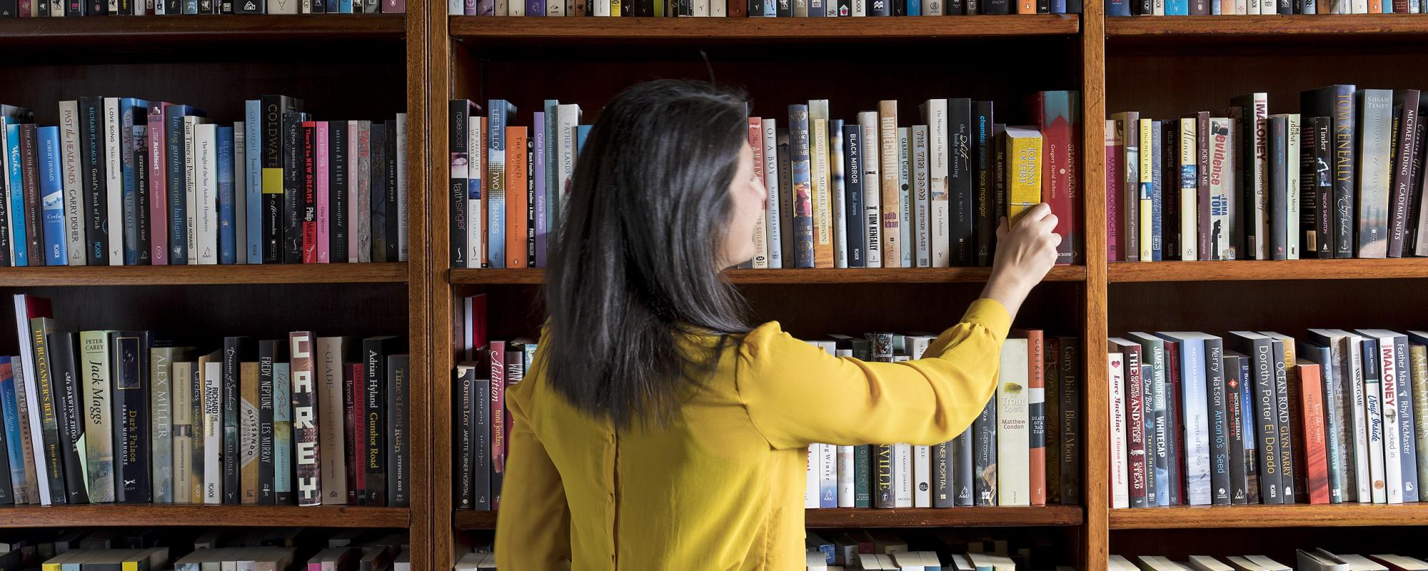
Search the collection
Start your search here. If you are looking for specific title, author or a specific format, you can use the filters from the dropdown menu before you select search.
Other places to find what you are looking for
Digital collections
Browse online over 5.7 million digital files from the collection, with more being added all the time.
Accessing the collection
Get a Library card
With a Library card you can request books and other collection material to use in the Library, access eresources and book a study room.
Ask a Librarian service
Need help with your research or finding the right resource? Have a question that you can’t find the answer to? Ask a Librarian!
Using items from the Library's collection
How to request and use general collection material, including books, manuscripts, audio and many other items.
Using items from the special collections
How to request and use original and rare printed material, including items that are unique, irreplaceable or fragile.
Ordering copies of Library items
Find out how to order copies of collection items, including articles, images, prints and recordings.
Researching your family history
Explore your family history using the Library's diverse and extensive collections and get help from the Library's specialist staff.
Multilingual information and services
Magazines, newspapers, dictionaries and websites to read in various languages.
About the collections

David Scott Mitchell collection
The David Scott Mitchell Library is home to a vast and unique collection of Australian and Pacific artefacts

Sir William Dixson collection
The Dixson collection is one of world's most extensive Australiana collections, which includes books, relics and fascinating curios

State Reference Library collection
An extensive and growing collection of Australian and international books and materials.
Significant collections

Nelson Moore Richardson Collection
This is a rich collection of early bibles, medieval manuscripts and early printed works

Personal diaries and letters from the First World War
A rich and significant collection of personal diaries and letters written by those who served in World War I.

TAL & Dai-ichi Life (Earl of Derby) Collection
The Earl of Derby collection is six volumes of stunning natural history watercolours of Australian flora and fauna.

Angus & Robertson Collection
The Angus & Robertson collections chart the development of Australian literature, providing extensive and valuable resources for the study of Australian writing and publishing.

Holtermann Collection
The Holtermann Collection of 3,500 glass plate negatives from the 1870s has been recognised in the UNESCO Australian Memory of the World register.

George Morrison Collection
A comprehensive collection of the personal papers of a remarkable Australian also known as 'Morrison of Peking'.

Sir Joseph Banks Papers, 1767-1822
The Joseph Banks collection includes journals, correspondence, letters received, reports, invoices and accounts, and some maps, charts and watercolours.

Red Cross Archive
One of the country's oldest and most prolific volunteer organisations is the Australian Red Cross Society.
Subjects

First Fleet Collection
The First Fleet Collection includes journals, letters, drawings, maps and charts created by those who travelled with the First Fleet of British ships to Australia. It is one of the Library’s most significant and valuable collections.

LGBTQI+ collections
Explore highlights from the lesbian, gay, bisexual, transgender, queer, intersex collections.

Shakespeare Folios
The four Shakespeare Folios are one of the most important collections in the Library. These are the earliest texts of William Shakespeare's work, published in the 17th century.
World War I collection
The Library began collecting the personal diaries and correspondence of men and women who served in the First World War soon after the Armistice was declared in November 1918.
Formats
- Collection

Social Media Archive
Collecting digital material to provide a documentary record of life in New South Wales

Subdivision plans
The Library has a large collection of real estate or subdivision plans dating from the 1860s to the 1950s. These plans show the expansion of suburbs in Sydney and regional New South Wales as large tracts of land were divided into smaller plots.

Newspapers
Access an extensive collection of local and international newspapers, in a range of physical and digital formats.


Sir William Dixson numismatic collection
Over the course of his lifetime the wealthy Sydney businessman Sir William Dixson (1870–1952) amassed one of the finest numismatic collections in Australia.

Architecture
The Library’s diverse collection of architectural material includes working drawings, sketches and sketchbooks, specifications and contracts, correspondence and photographs.

Pictures
One of Australia's most significant historical and documentary collections, featuring historical paintings and drawings from the 18th through to contemporary pictorial works and includes over 170,000 works on paper.
Building the collections

What the Library collects
The Library collects material that documents life in New South Wales, from the earliest times to the present day.
Contemporary collecting priorities
The Library adds thousands of items to the collection every year. Some of the most valued additions are acquired from members of the community.

Collection acquisitions
The Library is constantly expanding its collections and considers offers of material.


Suggestion for purchase
The Library welcomes your suggestions for purchase for the Library collection.

Caring for the collections
The Collections Care branch carries out vital work in preserving, restoring and maintaining the Library's rich collections.

Digitising the Library's collections
The Library plans to create and preserve digital material on a scale never before seen in Australia.
Engaging with collections


Digital volunteering
By participating in one of our digital projects you will be contributing to the improvement and enrichment of our collections.

Recipes from the collection
Ever wonder how delicious old recipes actually are? Why not test out a cookbook from the collection!