Collection Item

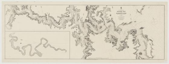
Broken Bay and Hawkesbury River 1872
British Naval officer, John Thomas Ewing Gowlland was appointed to the Australian survey as chief assistant in 1865. He later took command of the survey of the New South Wales coast and compiled Admiralty charts of the coast and the tidal waters of the Richmond, Clarence, Hunter and Hawkesbury Rivers. Gowlland also surveyed Port Jackson and made the first plans of Garden Island. This large chart, measuring 230 cm in length is a fine example of Gowlland's skills in hydrography and maritime charting.
Call Number:
Z/Cd 87/1
Published date:
1872