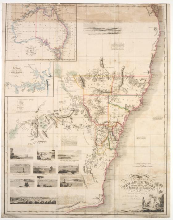
Map of part of New South Wales embellished with views in the harbour of Port Jackson 1826
Dedicated to Captain Phillip Parker King R.N, this map of eastern New South Wales shows the nine counties, with notes and descriptions. Included are eleven views of 'Sidney' [sic] and the coast which were ascribed on the previous 1825 edition to J.W. Lewin. Cross's map was included in James Atkinson's Account of the state of agriculture & grazing in New South Wales, published in London in 1826. Intended to encourage British immigration by highlighting the beauty of New South Wales and the opportunities open to settlers, this publication focused on'observations of the soil and general appearance of the country, and some of its most useful natural productions with an account of the various methods of clearing and improving lands, breeding and grazing live stock, erecting buildings, the system of employing convict and the expense of labour generally and the mode for applying for grants of land, for those who are about the emigrate to that Country'.