Collection Item

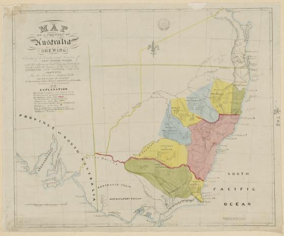
Map of a portion of Australia shewing the area of the Twenty located Counties of New South Wales with the adjoining Eight Grazing Districts as divided under the provisions of the Act [cartographic material] / Engraved by W. Baker. 1841
Call Number:
Z/M2 806/1841/1
Published date:
1841