Collection Item

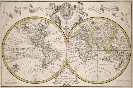
Mappemonde a l'usage du Roy 1770
Designed for the French market, this map depicts the Australian east coast, detailing Captain James Cook's 1770 discoveries, along with the route of Abel Tasman in 1642. The directions of regular and variable trade winds are also illustrated.
Call Number:
Cb 77/ 5
Published date:
1770