Collection Item

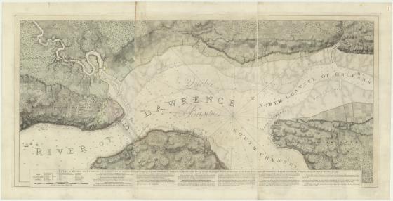
A new chart of the River St. Laurence: from the island of Anticosti to the Falls of Richelieu..,1775 1775
Prior to his explorations in the Pacific, James Cook served in the Royal Navy in North America during the Anglo-French Seven Years’ War and saw his first campaigning off Louisbourg, Île Royale (Cape Breton Island). Cook surveyed the St Lawrence gulf and river in Quebec and charted the river in detail to enable a large armada of ships to enter. This chart of the St. Lawrence River shows settlements, ship channels, and anchorages. The soundings shown in fathoms. The original version of this map by James Cook was published in 1760.
Call Number:
Z/ Cc 78/1
Published date:
1775