Collection Item

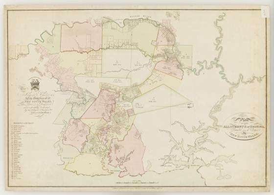
Plan of the allotments of ground, granted from the Crown in New South Wales 1814
From 1791 to 1831, the governors of New South Wales issued free grants of land on behalf of the Crown to individuals to encourage the settlement of the colony. Evidence of ownership was provided by a document known as a Crown grant. This map shows grant lot numbers and acreages in 1814. Several place names included on the map have been replaced. At point H: ‘Bulanaming’ was used up until the 1820s for the area between Sydney and the Cooks River. In 1810 Governor Macquarie renamed the Green Hills region as Windsor although the former name appears on this map.