Collection Item

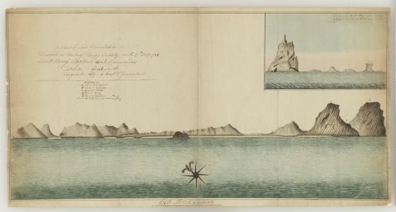
A view of Lord Howe Island discovered in His Maj's Brigg Supply on the 17th Feby 1788, Lieut Henry Lidgbird Ball, Commander. Latitude 31.36 South, Longitude 159.04 East of Greenwich [cartographic material]. 1788
This is a manuscript map which details the profile of Lord Howe Island attributed to Henry Lidgbird Ball, the Surveyor and Commander of the Supply. There is an inset map at upper right which reads: A view of Balls Pyramid laying S.E. of Lord Howe Islands, 13 miles.
Call Number:
Z/Cb 78/6
Published date:
1788