Colonial settlement
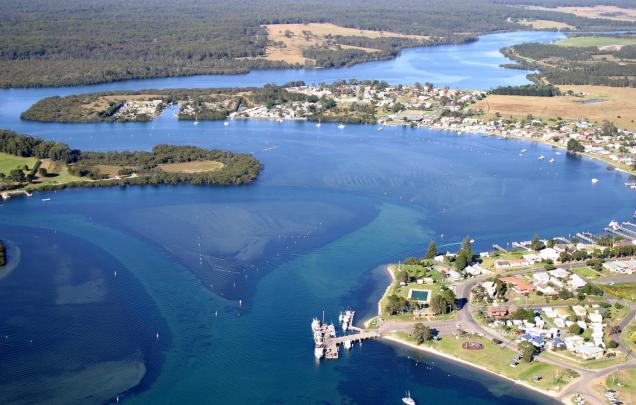
Topic: Environments shape places: Shoalhaven River area
This is the student activity 1 of 7 of the Factors that shape places: Shoalhaven river learning activity.
Task No. 1
Colonial settlement
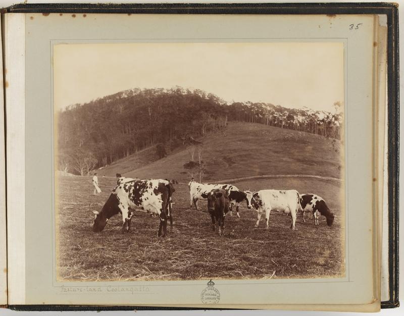
Ayrshire dairy cows on pasture land, Coolangatta Estate, Berry, NSW, 1896, by Samuel Cocks
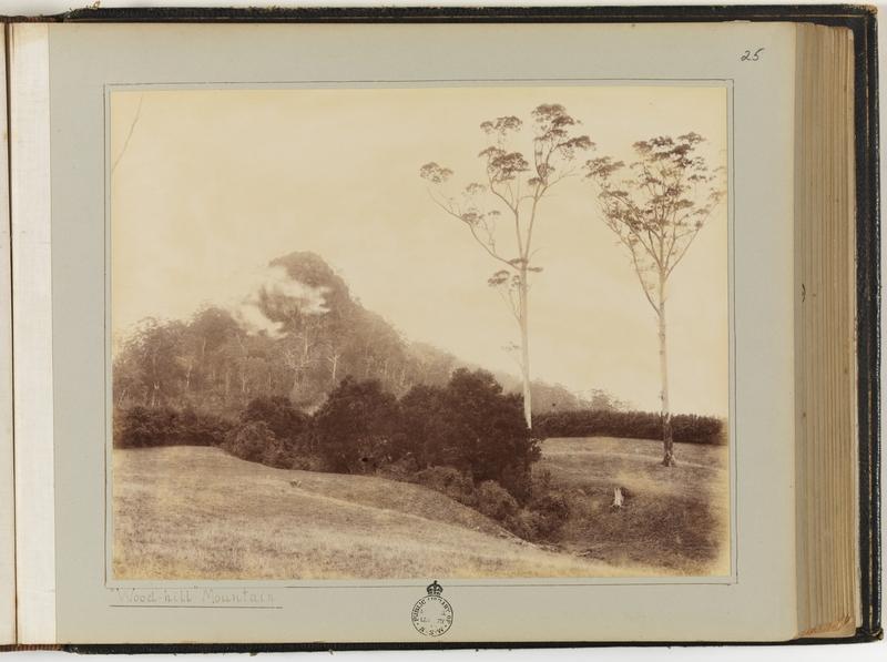
Woodhill Mountain, Berry, NSW, 1896, by Samuel Cocks
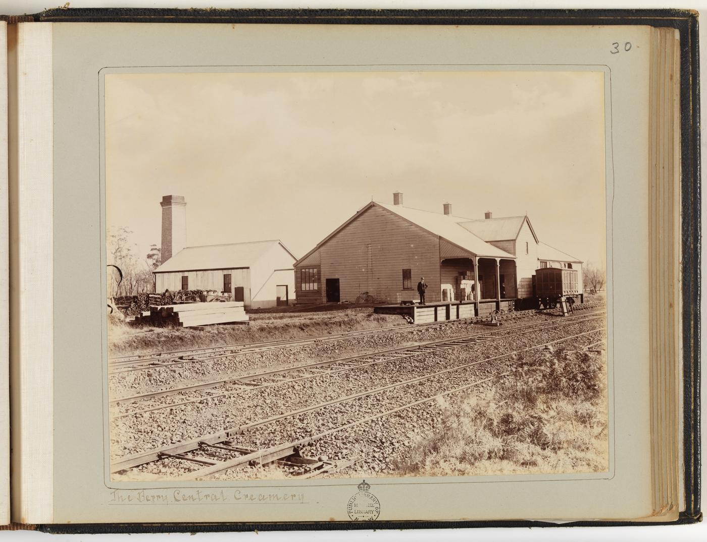
Central Creamery – output 970 tonnes of butter in 1896, Berry, NSW, 1896, by Samuel Cocks
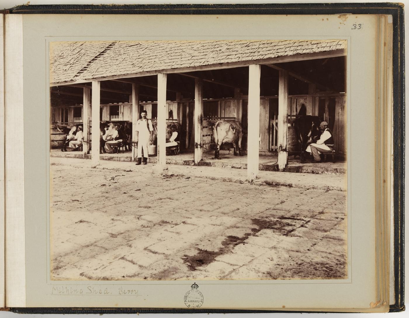
Milking Shed, Berry, NSW, 1896, by Samuel Cocks
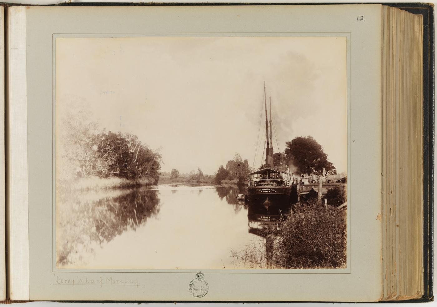
The ‘Coomonderry’ at Berry Wharf, NSW, 1896, by Samuel Cocks
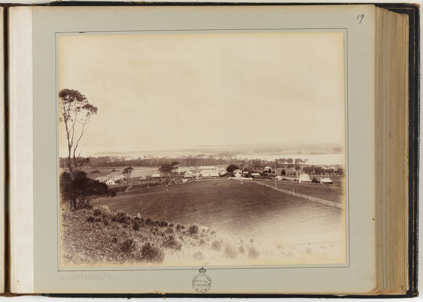
Coolangatta Estate, Berry, NSW, 1896, by Samuel Cocks
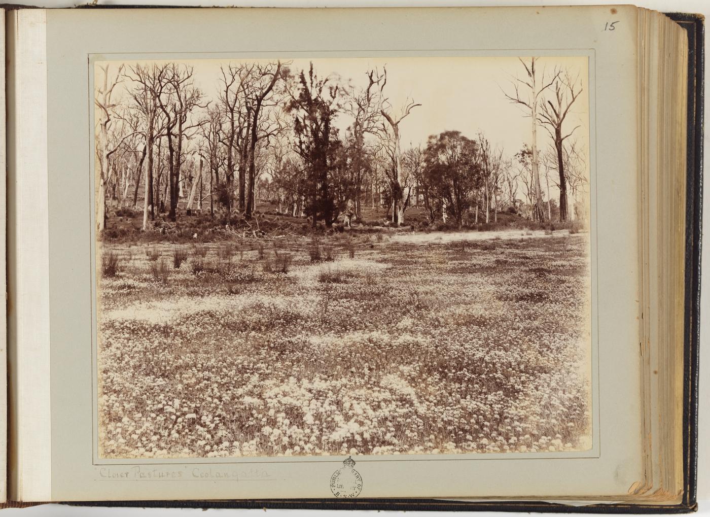
Clover pastures for cow feed, Coolangatta, 1896, by Samuel Cocks
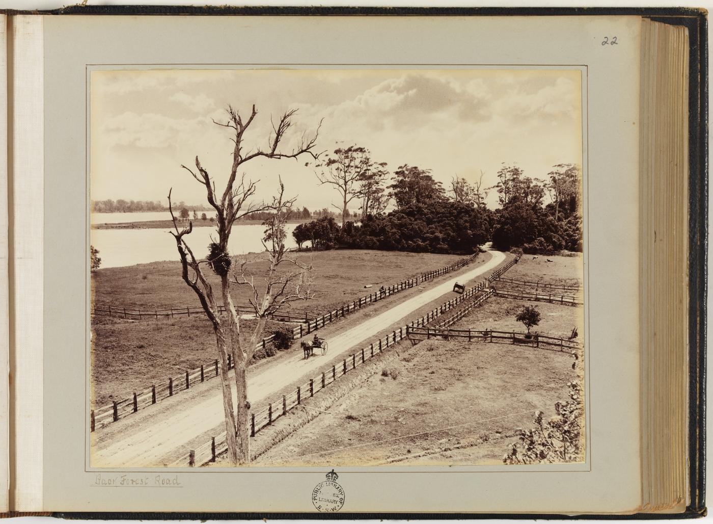
Baer Forest Road and paddocks on low-lying floodplain, 1896, by Samuel Cocks
Why was the Shoalhaven River area settled by colonists? How has the natural environment influenced the settlement?
View Sources 6 to 13 and discuss the questions below. Brainstorm interconnections between the natural environment of the area (particularly landform and climate) and the reasons for settlement.
Complete Table 1 in the download resource.
Observe and discuss
- What natural and human features can you see in the images?
- What landforms are in the images?
- What human activities are in the images?
- Floodplains near the river have fertile soils. What activity utilises the floodplain?
Infer and discuss
- View Sources 6 and 7. How would the mountains and hills influence the choice of land to be cleared for farming?
- What do you think the boat in Source 10 could be used for? What other functions could the river provide for the colonists? Why would settlement occur near the river?
- What natural features (landforms and climate) influenced and supported the settlement of the area? How?