Pictorial maps
Topic: Locating Places: Pictorial Maps
This is the student activity 1 of 6 of the Locating places: people live in places learning activity.
Task No. 1
Pictorial maps
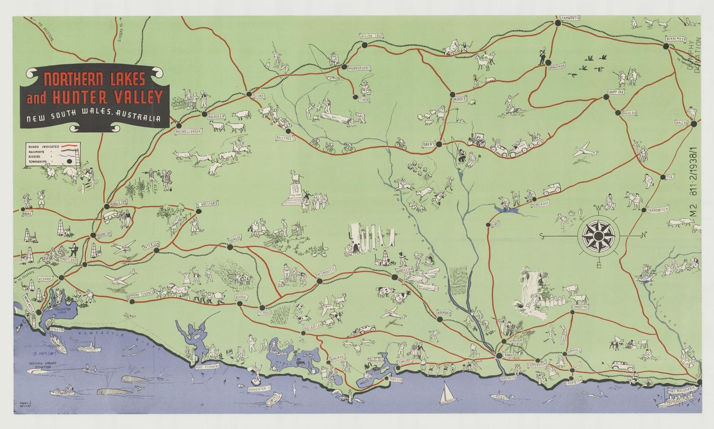
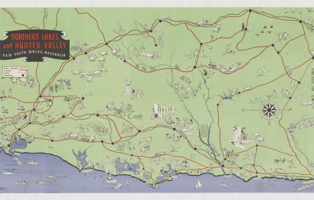
Northern Lakes and Hunter Valley, New South Wales, Australia [cartographic material] / produced by the N.S.W. Government Tourist Bureau.
View map 1 which is a pictorial map of the Hunter Valley, NSW. View the zoomable image. As a class discuss the viewpoint (birds eye view) and what each picture represents, i.e. sights and activities in places. Students work in pairs to find each of the pictures listed.
Formulate questions for the inquiry:
How can location be represented?
What is a map? What is a pictorial map?