Collection Item

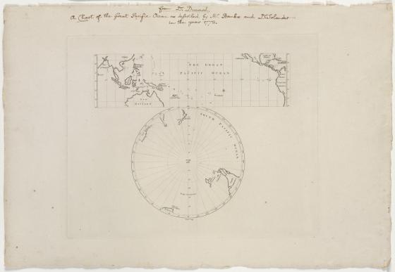
The great Pacific Ocean [cartographic material] / Bayly sculp. 1772
One of the earliest charts recording Cook’s discoveries in New Zealand and the East Coast of New South Wales. It was commissioned from John Bayly by Joseph Banks in February 1772. Maps from Cook’s first voyage were first published in 1773, and the east coast of New South Wales was first shown on Dunn’s world map published later in November 1772.
The chart was intended for Banks’ use on his next voyage of exploration with Cook. Eventually Banks withdrew, mounting an expedition to Iceland instead.
Of the 100 copies printed, only 50 were printed on a light French paper, including the Library’s copy, making it extremely rare.