Collection Item

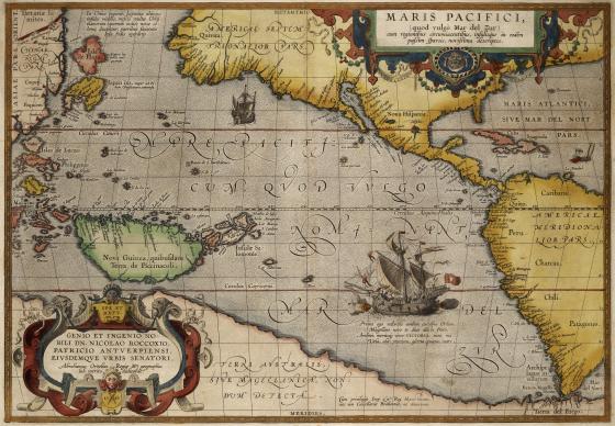
Maris Pacifici … 1589
In 1589 Ortelius produced Maris Pacifici, the first dedicated Pacific map. It is probable that Ortelius used Frans Hogenberg’s 1589 map of America as its basis but expanded further west. The magnificent illustration of a ship being guided across the Pacific by an angel depicts the Victoria, the only one of Magellan’s five vessels to complete the first circumnavigation of the world.
Collection Item Type:
Hand-coloured engraved copper print
Call Number:
SAFE/M2 910/1589/1
Published date:
1589