Collection Item

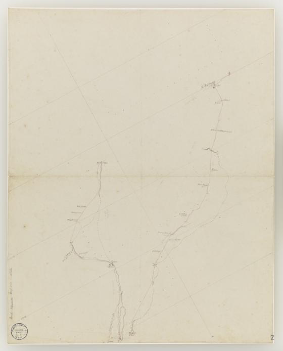
Original manuscript map of the country betweeen Drysdale's Ponds on the west and the River Ballonne on the east 1846
This important map shows the routes travelled by Mitchell between the 30th October and the 4th November 1846, on his fourth expedition. The places where his party camped during this period are marked on the map with the dates and number of camp
Call Number:
Z/M2 843.2/1846/1
Published date:
1846