Collection Item

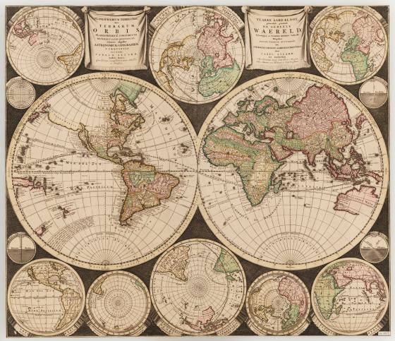
Planisphaerium terrestre, sive terrarum orbis c 1696
This map by Carel Allard is now considered to be a landmark in cartographic design, influencing many mapmakers who followed. While it was common for other contemporary Dutch world maps to feature lavishly illustrated scenes in the border surrounding the hemispheres, here Allard broke with that trend. Instead he used this space to include more projections of the world at different orientations, as well as diagrams. As a result, this map has a more ‘scientific’ appearance than many of its contemporaries.