Collection Item

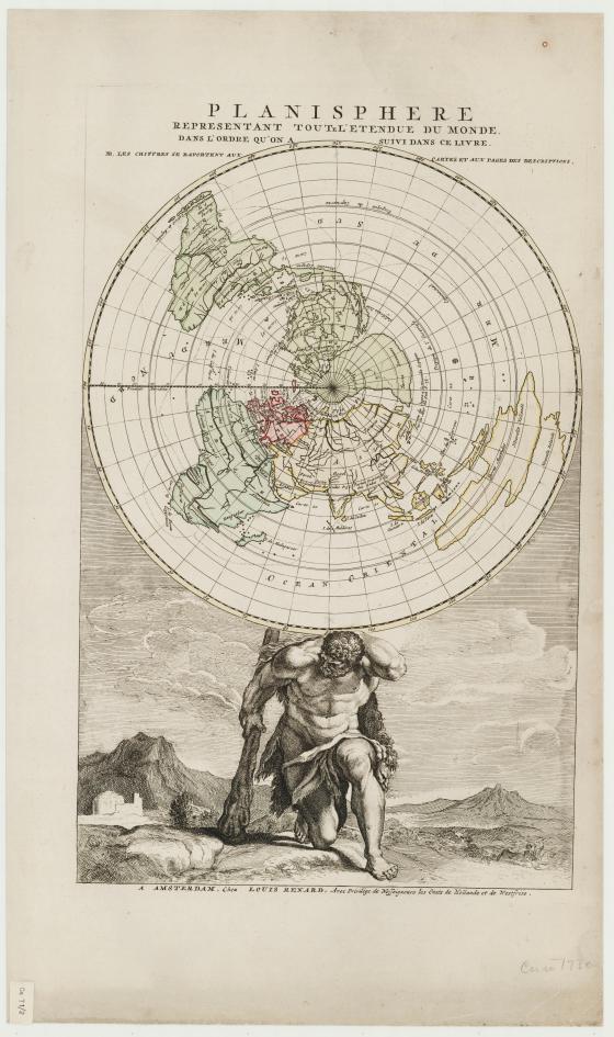
Planisphere representant toute l'etendue du monde : dans l'ordre qu'on a suivi dans ce livre from Atlas de la navigation, et du commerce qui se fait dans toutes les parties du monde 1715
Between 1679 and circa 1690, Giovanni Cassini produced a 24-foot diameter hand-drawn map of the world on the floor of the Paris Observatory. This scientific map was based upon astronomical observations, with the North Pole at the centre. By 1690, the ink drawing on the floor of the Observatory was fading — it was transferred to paper and ultimately printed in a single sheet. This edition of the map held up by the figure of Atlas was published by Louis Renard included in his Atlas, published in 1715.