Collection Item

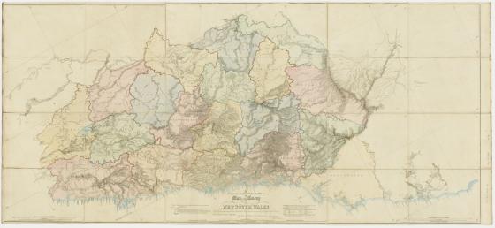
To the Right Honorable Edward Geoffrey Smith Stanley this map of the Colony of New South Wales 1834
Surveyor-General Thomas Mitchell’s ‘Map of the Nineteen Counties’ was compiled from 900 triangulated surveys of the settled counties. Mitchell wrote to Undersecretary Hay that, ‘my map is nearly all on copper having been myself obliged to etch the hills and ranges as few engravers can do this satisfactorily’. In a note submitted to Lord Stanley on 5 May 1834, Mitchell wrote, ‘I consider it one of the most accurate specimens of constructive plan drawing ever produced of an extensive territory on the same scale’.