Collection Item

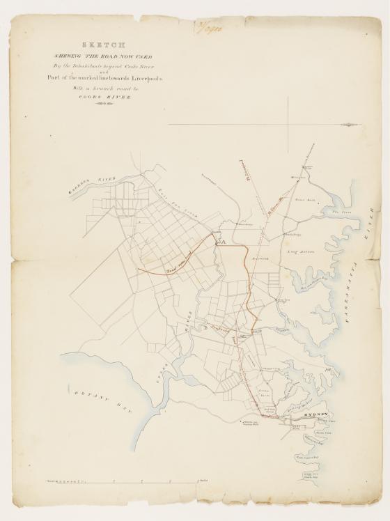
Sketch shewing the road now used by the inhabitants beyond Cooks River and part of the marked line towards Liverpool &c. with a branch road to Cooks River 1831
Area from Georges River to Hen and Chicken Bay, and Haslam Bridge to "Kitty's Cove or Double Bay".
Map shows roads, subdivided land, mile stones, named bridges, swamps, bays, inn, house and barn at Petersham, turnpike, towns, and Waterloo and Lachlan Mills.
Part of the William Dixson manuscript collection.