Macquarie Island Australasian Antarctic Expedition
This is the student activity 1 of 3 of the Places are similar and different: Macquarie Island world heritage area learning activity.
Macquarie Island Australasian Antarctic Expedition
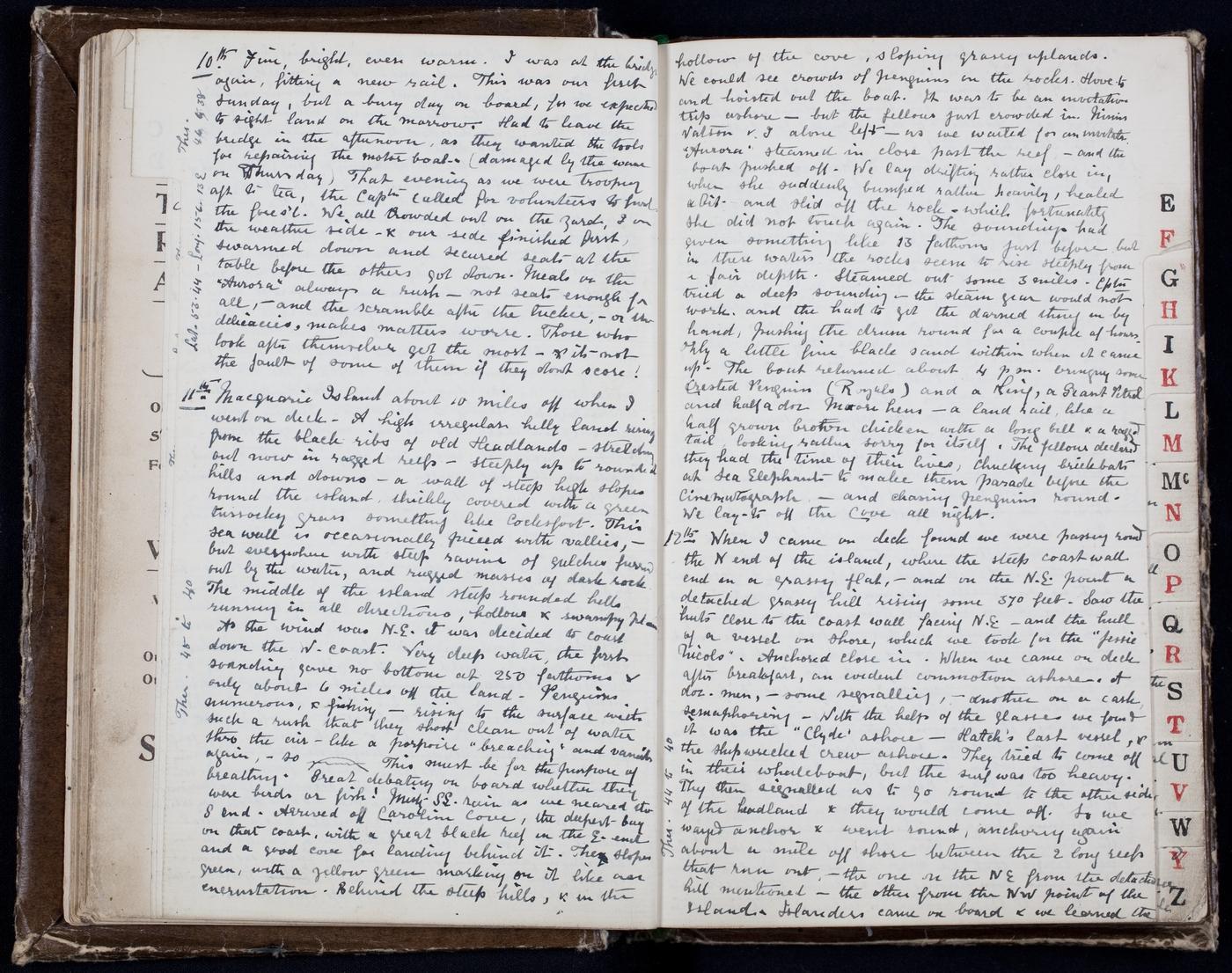
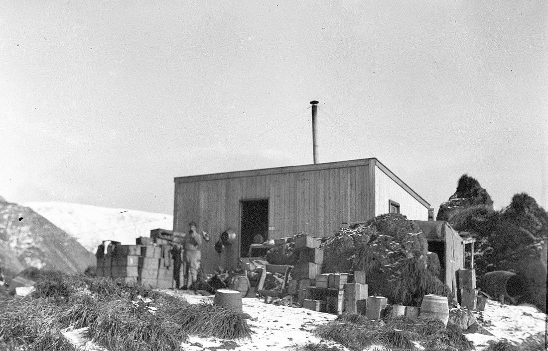
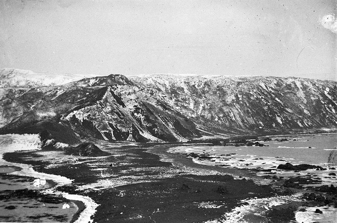
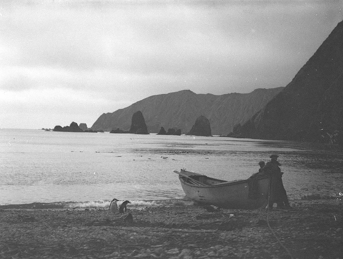
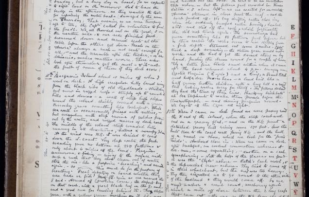
Analyse Sources relating to the survey of Macquarie Island as part of the Australasian Antarctic Expedition led by Douglas Mawson. The expedition left Hobart on 2nd December 1911 and sighted Macquarie Island on 11th December 1911.
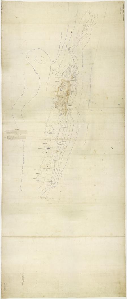
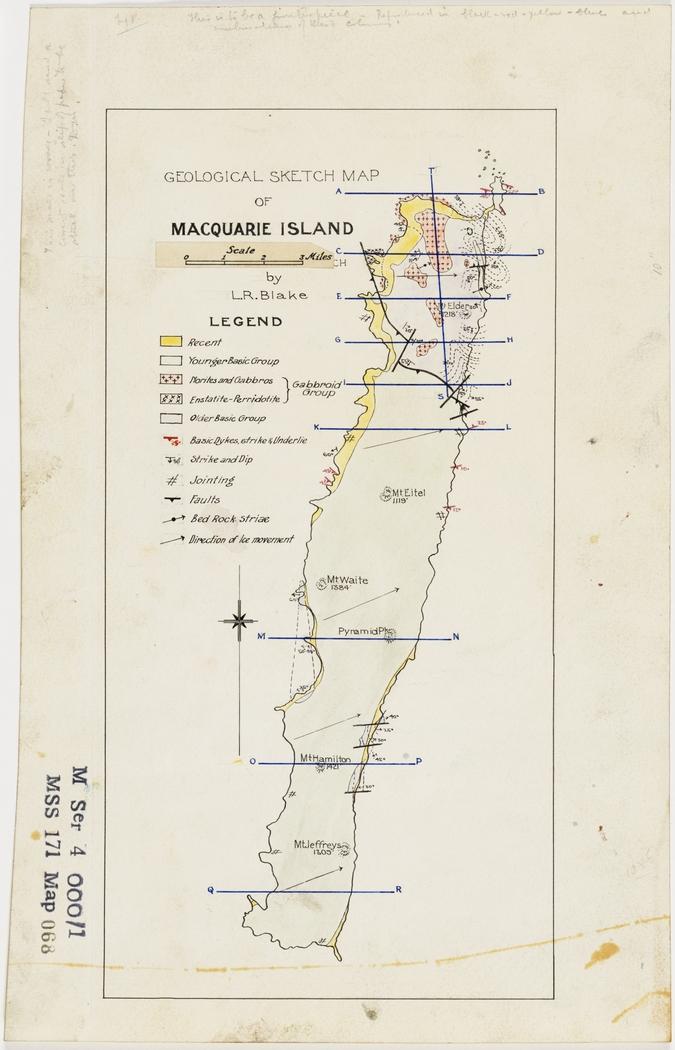
Explore the zoomable images of Sources 12 and 13: Leslie Blake’s relief map and geological sketch of Macquarie Island. Discuss the data presented in the maps, the elements of the maps and the mapping conventions used.
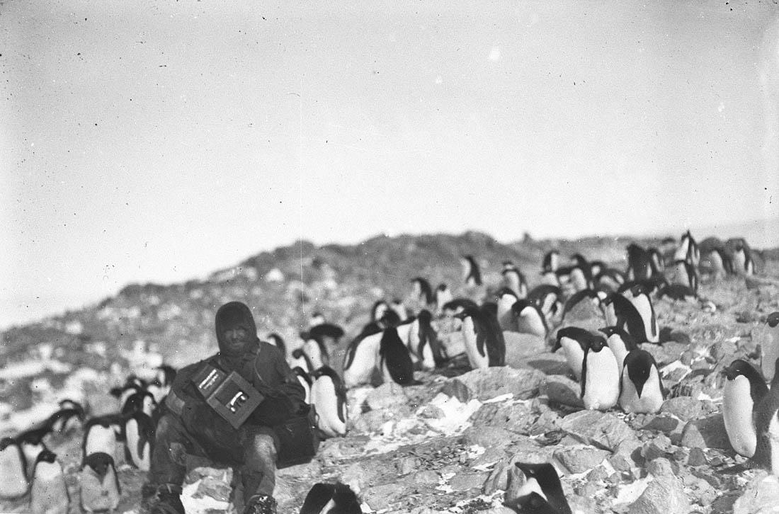
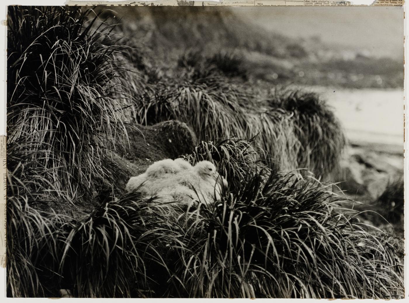
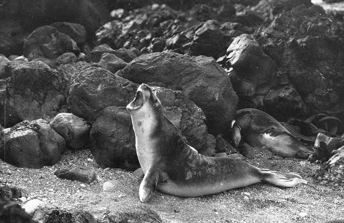
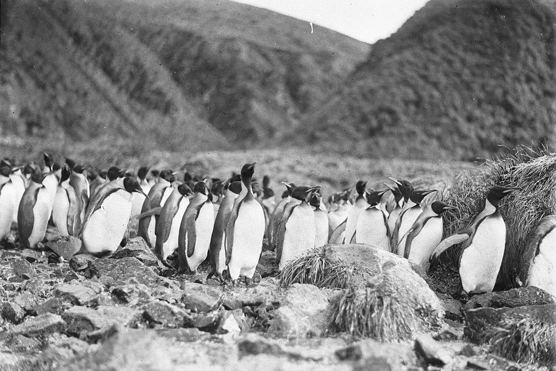
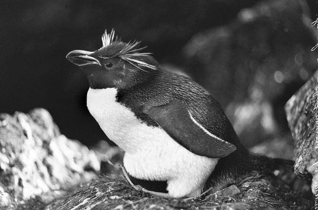
View contemporary images of the Macquarie Island World Heritage Area. Research the unique values that were promoted for its inclusion onto the UNESCO World Heritage List.
Macquarie Island World Heritage area
Download the resource and answer the questions about Macquarie Island World Heritage area.