Finding shelter
Students familiarise themselves with the map of the camp to get an overview of the settlement and its location.
This is the student activity 1 of 7 of the Setting up camp learning activity.
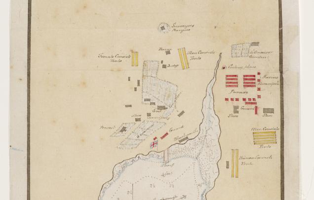
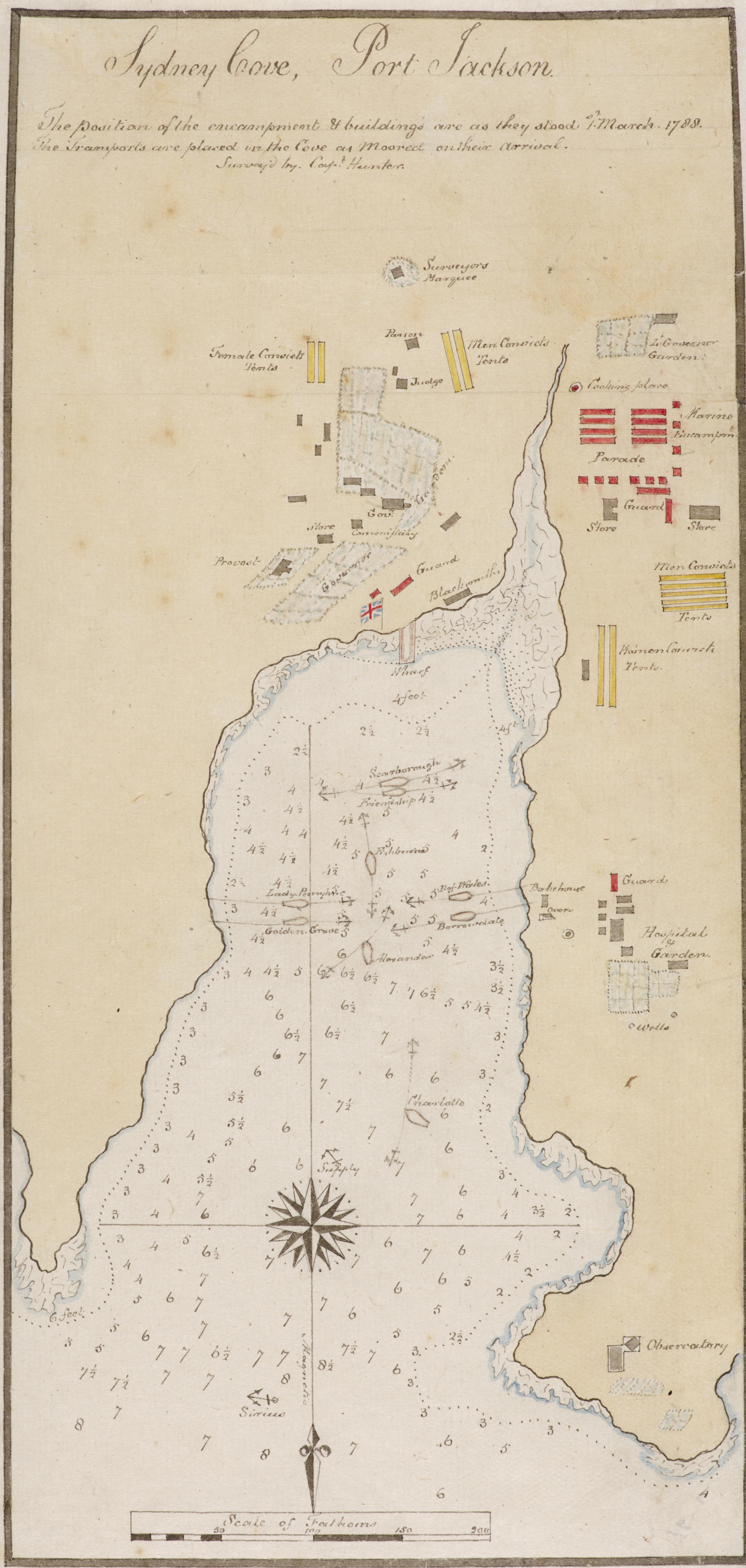
A map of the camp
When the First Fleet arrived in Sydney Cove, there were no gaols to confine the convicts. Their world was an open-air prison, and they slept in tents - camping style! The supplies brought with them from England included about 500 tents for the convicts, 160 tents for the marines and 36 larger tents or ‘marquees’ for the officers and their families. Governor Arthur Phillip had had a special tent made in England but was terribly unhappy with it.
Read these quotes from primary sources.
Second Lieutenant Philip Gidley King, second in command, wrote on 27 January 1788:
Convicts were …immediately sett to work clearing away the ground, ready for the encampment…. which will require some time & labour to clear away.
Captain Watkin Tench observed the activity in the first few days after they arrived:
In one place, a party cutting down the woods; a second, setting up a blacksmith’s forge; a third, dragging along a load of stones or provisions; here an officer pitching his marquee, with a detachment of troops parading on one side of him, and a cook’s fire blazing up on the other.
Using the map of the settlement, familiarise yourself with the layout of the camp. Click on the image to zoom in and read the labels. This map was created by Lieutenant William Bradley and made on 1 March 1788, just over one month after they had arrived.
Answer these questions:
- Why did Arthur Phillip plan the town that way?
- Would you have done it differently? How?
- What do you think were the challenges in setting up the camp?
- What appears to be the main focus of the camp?