While the Sydney Harbour Bridge was being planned and built in the late 1920s and early 30s, a project in the south of the city was being fiercely debated. Said to rival the bridge in cost and importance, it was never completed, but its story tells us much about how Sydneysiders valued, or did not value, their waterways.
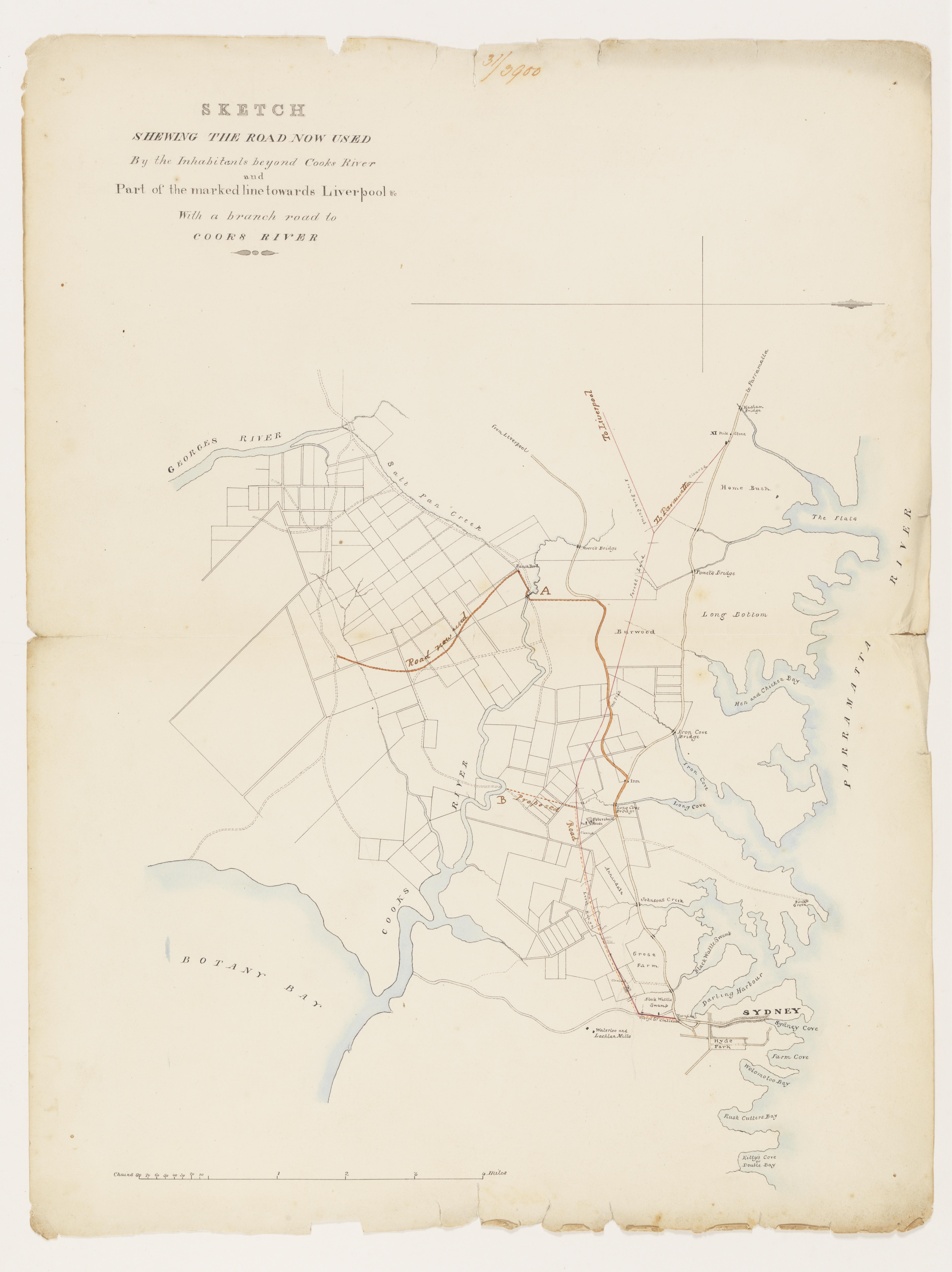
Back in 1896 an engineer named Joshua Henson proposed cutting two canals to link the Cooks River in inner south-western Sydney with the Parramatta River. The aim was to encourage water-borne commerce, and to flush out pollution from urban and industrial development. Canals were still an important and cheap mode of transport in many countries, and Henson hoped that building one would solve a multitude of problems.
The Cooks River had become a smelly eyesore after a dam was built at the present-day Princes Highway in 1839 to augment the colony’s water supply. The project failed to achieve its aim, but the dam did have another impact. It prevented the dispersal of pollution caused by the growth of farming and agricultural processing businesses such as tanneries in the mid- to late nineteenth century. Later, in the twentieth century, waste from manufacturing was also dumped into the river.
It was hoped that joining the river to Sydney Harbour via the Parramatta River would allow tidal flushing of industrial waste to clean the river, like a giant washing machine, while providing a watery highway for small commercial vessels.
Henson’s plan was taken up by the Cook’s River Improvement League, first formed in 1908, which became particularly active after it was reformed in the early 1920s. A copy of the rare pamphlet outlining Henson’s scheme is in the Library’s collection, along with the League’s colourful campaign literature.
Though the idea of twin canals was quietly dropped as too expensive, the river’s banks were dredged and regularised, commencing in 1936, to stop river siltation from impeding the flow of the water and increasing urban flooding. After the upper river was concreted, mostly between 1938 and 1943, many people came to think of it as a canal. Downstream, the addition of steel piling and further dredging after 1946 added to the industrial appearance of the river.
But it had become a canal to nowhere. It was never finished, barges never plied their trade upon it, and the concreting only exacerbated flooding and meant that more pollution was carried downstream.
In the 1950s, with the idea of a canal abandoned, the Cooks River Valley Association was formed to lobby councils and the state government to finish dredging downstream, clean up the river, stop further factories being built along its banks, and create a pleasant place for recreation.
Artworks in the Library’s collection document the presence of Indigenous people, and trace the changes in landscape since the nineteenth century. Samuel Elyard’s paintings of the river bank at Tempe, and early sketches and watercolours of the river upstream, show the early history of European occupation and the dreams of turning wild nature into a pastoral paradise for the colonial ‘gentry’.
By contrast, photos from the 1970s show a stark landscape wrought by dredging, canalising, and the dumping of river silt upon wetlands and farmland. These images provide a benchmark to evaluate the changes in vegetation since that time.
Records of the Cooks River Valley Association and the Total Environment Centre, established in 1972, along with the papers of conservationist Milo Dunphy, all held at the Library, form a rich set of sources to understand the impact of urban pollution and the birth of modern environmentalism in Sydney from the 1950s to 1980s.
Dunphy is best known for agitating for national parks, but he also worked to stop coal loaders, protect urban parks and clean up rivers. He fronted a landmark Cooks River Valley Environmental Survey in 1976 that proposed a thorough planning process for designing recreational space and mitigating the pollution and flooding problems of the river’s past.
Though Dunphy became the spokesman for the project, the report was put together by architect David Boddam-Weddon, and it was through his work and the activism of the Total Environment Centre that a landscape design and interdisciplinary approach to environmental management of rivers first came to the fore in Sydney.
Along with further records at Campsie Library in the City of Canterbury-Bankstown, these sources show that the famed effort to protect bushland at Hunters Hill was not the first campaign against the destruction of urban bushland in Sydney.
In the 1960s, residents in the Cooks River catchment successfully opposed the levelling of Nannygoat Hill at Earlwood to make way for football fields. They also opposed planned expressways through the Cooks River valley, and through Wolli Creek, one of the river’s most important tributaries.
The successful opposition to the Wolli Creek Expressway, which was pushed underground as part of the M5, led to the creation of a regional park. This action preserved and allowed rehabilitation of one of the few areas of bushland left in the inner city in the 1980s. Bush regeneration schemes there and across the valley followed in the early 2000s.
The Cooks River valley is a very small place by world and even Sydney standards, but its history demonstrates larger themes of environmental change and its impact on rivers, the land, and people. Researching the history of the Cooks River was like looking through a microscope and seeing, in these records, the intricate and colourful relationships of humans to environment in Sydney’s recent past.
Ian Tyrrell’s River Dreams: The People and Landscape of the Cooks River (NewSouth Publishing) was shortlisted for the Community and Regional History Prize of the 2018 NSW Premier’s History Awards.