Collection Item

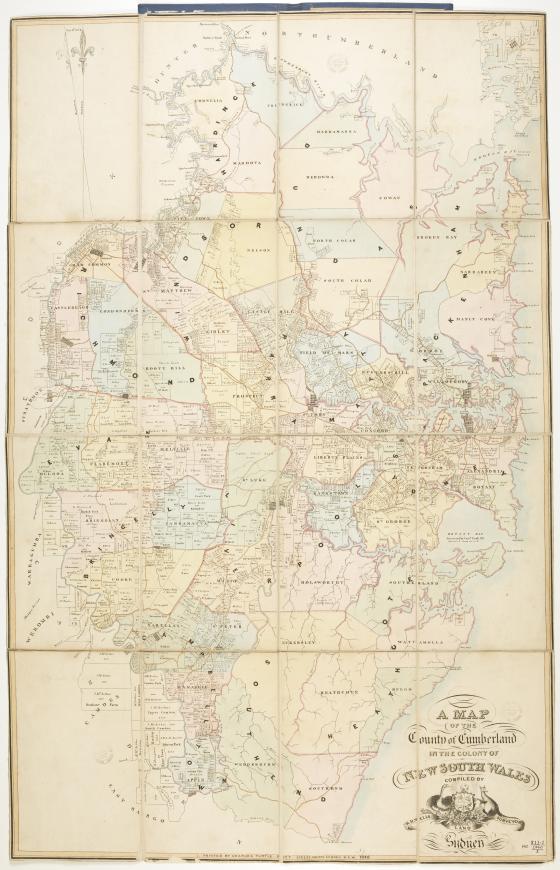
Map of the County of Cumberland in the Colony of New South Wales 1840
Most of the Sydney metropolitan area is located within the County of Cumberland, stretching from Broken Bay to the north, to the northern suburbs of Wollongong in the south. It was the first county established following British colonisation in 1788 and followed the British land management system of counties and parishes. The name Cumberland was chosen by Governor Phillip to honour Prince Henry, the Duke of Cumberland, on 4 June 1788, the birthday of his brother, King George III. In 1835 Cumberland County was subdivided into 57 parishes, as indicated in this edition.