Collection Item

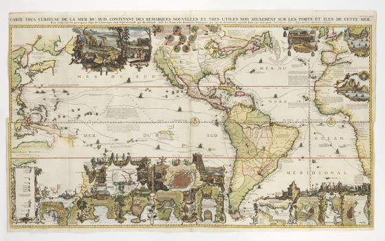
Carte très curieuse de la Mer du Sud … 1719
This 18th century Pacific map is one of the most ornate examples of the period, featuring dozens of illustrated scenes that show cultural practices, customs, histories, flora and fauna of North and South America. These vignettes, including one depicting a human sacrifice, reduce other cultures to ‘curiosities.’ They also suggest that the Pacific might hold many natural resources that could be exploited. The inclusion of explorer tracks across the ocean indicate how the Pacific would be incorporated into European trading networks.