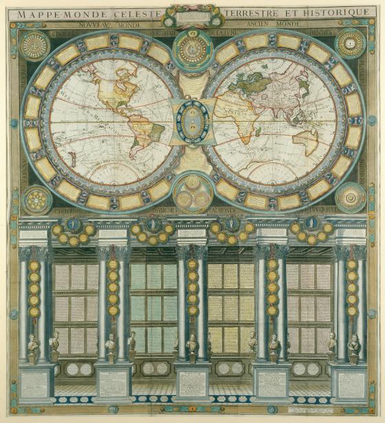
Grande mappemonde céleste, terrestre, historique & cosmographique, dediée au Roi, où sont représentés les differens systêmes du monde 1786
From ancient times maps have featured on the walls of public and private buildings for many purposes, such as proclaiming conquests, teaching, or as a show of wealth and status. This hand-coloured wall map made of six joined sheets is one of the finest examples from the 18th century.
The two hemispheres incorporate current geographic information, with Cook’s three voyages marked. The border encircling the hemispheres contains panels describing geographical and astronomical terms and diagrams of constellations. Between the hemispheres is a lunar phase diagram, the transition of the seasons with zodiacal equivalents, and a diagram comparing the astronomical systems put forward by Ptolemy, Tycho Brahe and Copernicus. The hemispheres are supported by five groups of columns, at the bases of which sits busts of European explorers, scientists and thinkers. Between the columns, text describes Europe, Asia and Africa. Surrounding the entire map is an outer border featuring information about the known planets: Saturn, Jupiter, Mercury, Venus and the Moon.