Collection Item

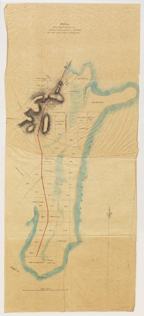
Tracing from Messrs. Darkes and Gormans surveys shewing the road from the dam at Cooks River to Rocky Point 1850
Map shows landowners, measured allotments, rivers, creeks, shoreline, and road. Area: from the dam at Cooks River, along the shore of Botany Bay, past Dolls Point, Rocky Point, and to George's River and Townsons [Kogarah] Bay.
Call Number:
Cb 85/25
Published date:
1850