Collection Item

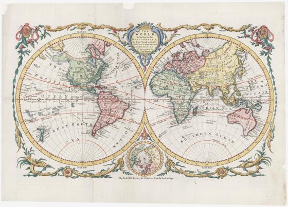
The world, including the late discoveries, by Captn. Cook and other circum navigators c 1771
As well as being used for wayfinding or planning journeys, maps have also been used throughout time to record voyages that have been undertaken and the information gathered from them. Thomas Bowen’s double-hemisphere world map shows the tracks of two major 18th century English voyages: Commodore George Anson’s circumnavigation (1740–44) and the first expedition of James Cook (1768–71).