A case study in environmental change
This is the student activity 1 of 1 of the A growing city learning activity.
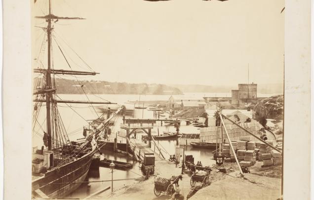
Bennelong Point
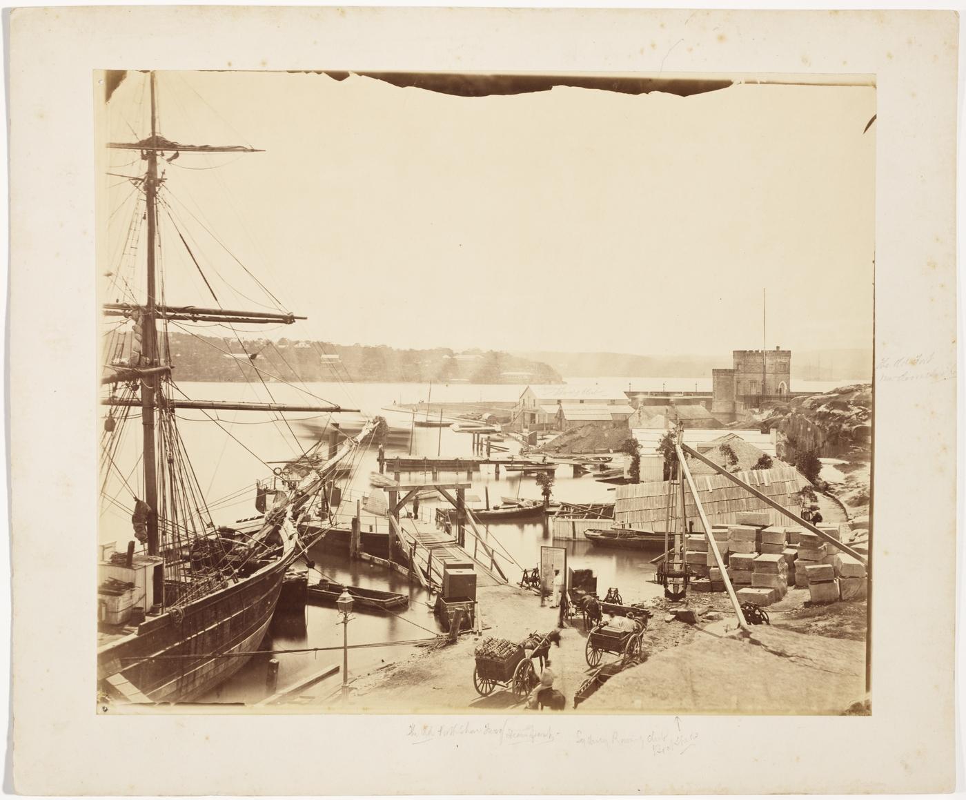
Look at the photograph below of Fort Macquarie taken in 1875 on what is now known as Bennelong Point.
Answer the following questions:
- What natural features do you see?
- What built features do you see?
- How is the land being used in this image?
- What is the purpose behind this land use?
- Is this an urban or rural place?
- How do you know?
Describe how people have changed the natural environment in this image.
Compare the 1875 photograph with the Google Maps street view here. This street view is taken from the same location, in May 2014.
Examine the Google Maps image and describe the environmental changes that have occurred both on the site and in the distance. In identifying the environmental changes that have occurred you may wish to use words from the environmental changes word bank, available as a downloadable resource.
Predict what this urban area may look like in the future (you can either draw or describe the changes in words) and describe the potential changes to the environment caused by this further urban expansion.
Extension activity
Consider local planning and environmental sustainability and answer the following:
- What type of urban development is occurring?
- Where is it?
- Why is it located where it is?
- What impacts will this urban development have on the local community and what measures need to be addressed to protect human and natural places?
Additional activity
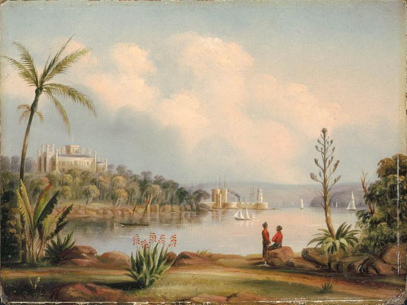
You may wish to complete the activity again (or alternatively) with the following image of Government House and Fort Macquarie Sydney N.S.W. from the Botanical Gardens, from 1846 and the Google Maps photo sphere found here.