The expansion of Sydney’s urban areas
Topic: Factors that shape places
This is the student activity 1 of 8 of the Factors that shape places: urban places learning activity.
Task No. 1
The expansion of Sydney’s urban areas
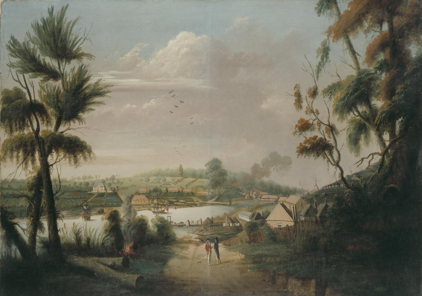
View of Sydney Cove, 1794, possibly by Thomas Watling.
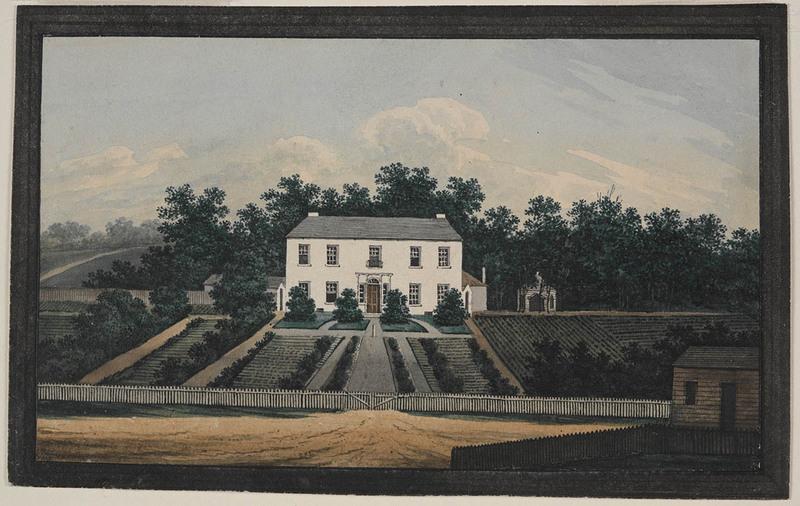
Series 01: Australian paintings by J.W. Lewin, G.P. Harris, G.W. Evans and others, 1796-1809 [32 watercolours]
Collection of sketches by J. W. Lewin, P. P. King, P. G. King and others, 1793-1850
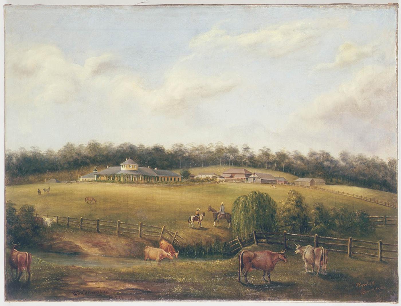
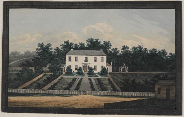
[View of] Bungarrabee [sic, ie. Bungarribee] NSW / painted by J[oseph] Fowles Sydney 1858
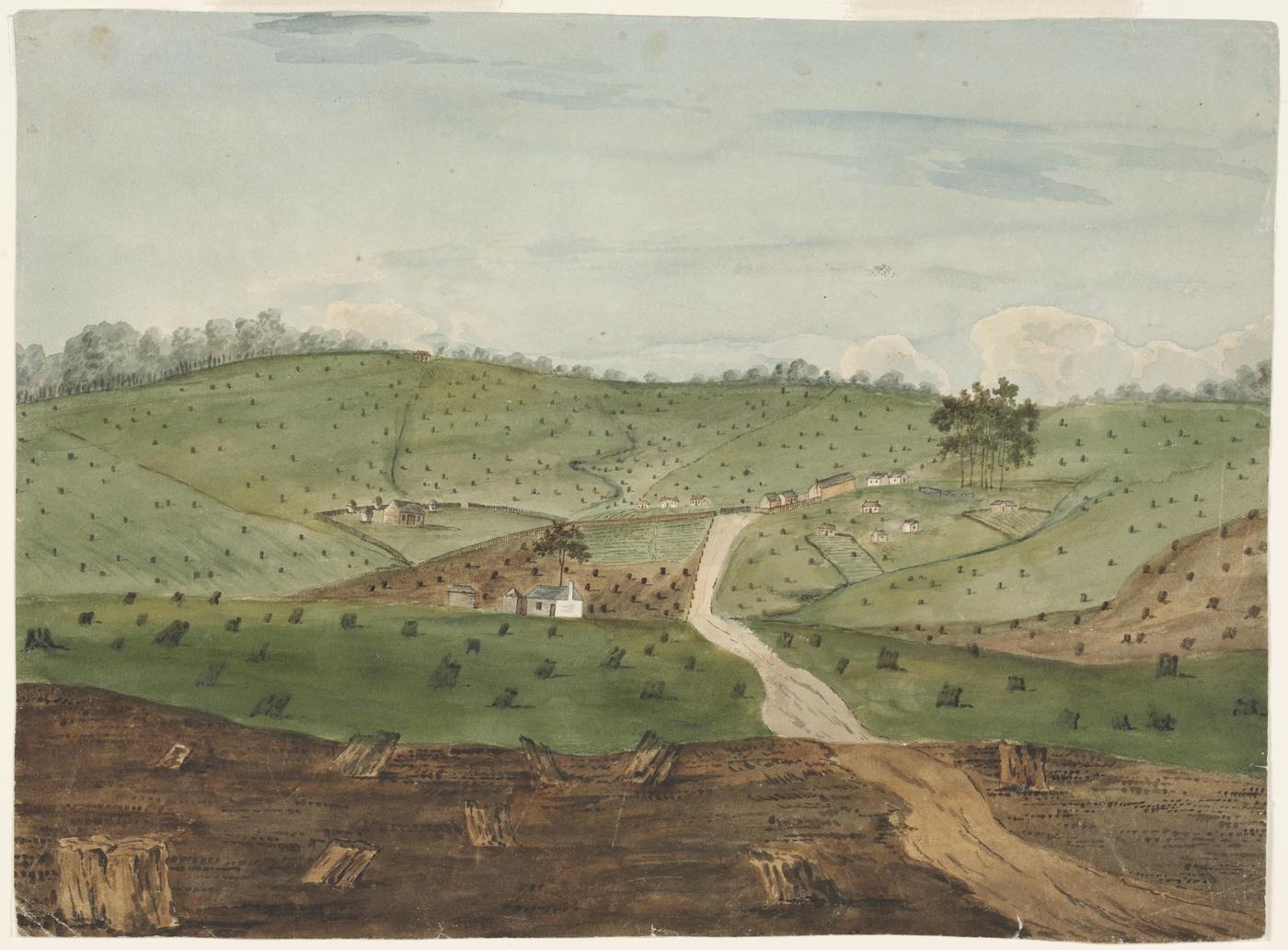
a. Use Sources 7 to 10, saved images and the overlay maps to complete Table 1 in the downloadable resource and answer the following questions.
- As natural areas became rural areas (farm land) with the purpose of producing food and products for the colony and for exporting to England, the land was changed. Describe the ways people changed the natural environment to create rural farm land.
- As populations increased and Sydney grew, rural areas were subdivided and became urban areas for residential housing. Describe the ways people changed the environment from rural farm land to urban areas, ie places for people to live and work in.
b. Using the downloadable resource, paste saved images from SIX Maps and Google Maps into the table and describe the land use of the suburb.