Macquarie Island World Heritage Area
Topic: Places are similar and different
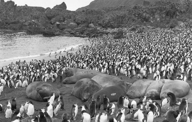
Students examine photographs of Macquarie Island taken 100 years apart
This is the student activity 1 of 3 of the Places are similar and different: Macquarie Island world heritage area learning activity.
Task No. 1
100 years apart
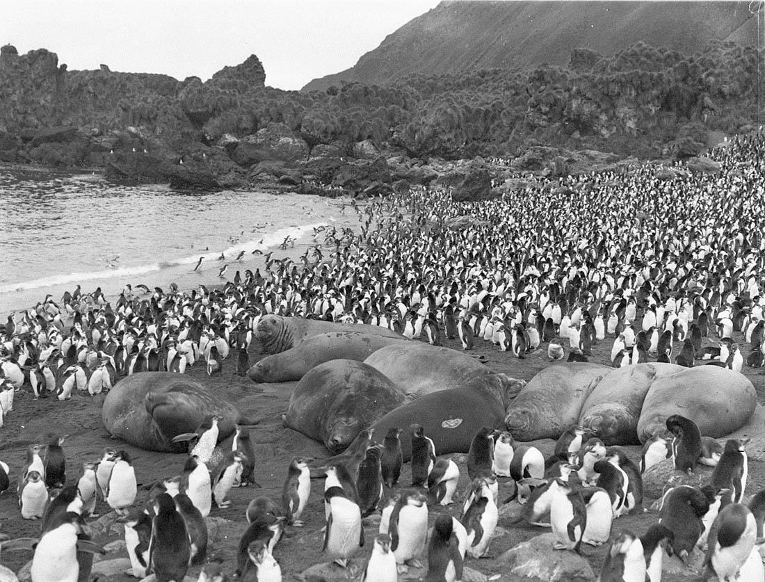
Young sea-elephants and Royal penguins at South End; Macquarie Island
Download the attached resource and answer the following questions.
View Sources 1 and 2 taken 100 years apart. Discuss why and how the areas and wildlife shown may have been protected.
Locate and map the Macquarie Island World Heritage Area on a map of Australia that includes New Zealand and Antarctica.
Locate the nearest countries, states and population centres.
Formulate questions for inquiry:
- What are the major natural and human features of the Macquarie Island World Heritage Area?
- How do people’s perceptions of the Macquarie Island World Heritage Area influence its protection?