Places in New South Wales
Topic: Australian Places
This is the student activity 1 of 4 of the People and places: Australian places learning activity.
Task No. 1
Places in New South Wales
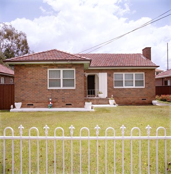
Deceased estate, Davidson Street, Croydon, Oct. 2005
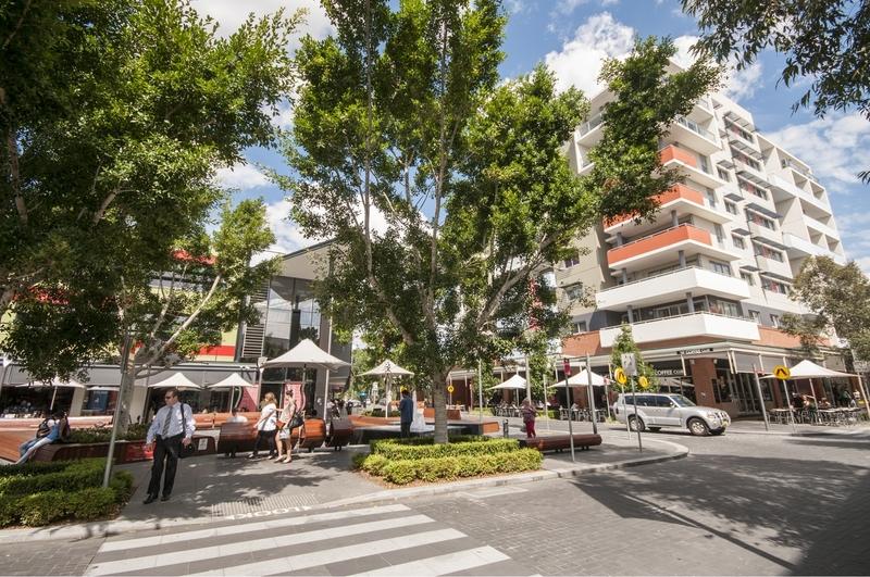
New housing estates, developments and activities, 2008-February 2013
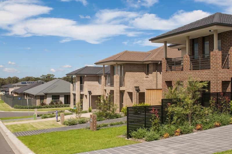
New housing estates, developments and activities, 2008-February 2013 /
New housing estates, developments and activities, 2008-February 2013
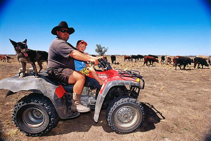
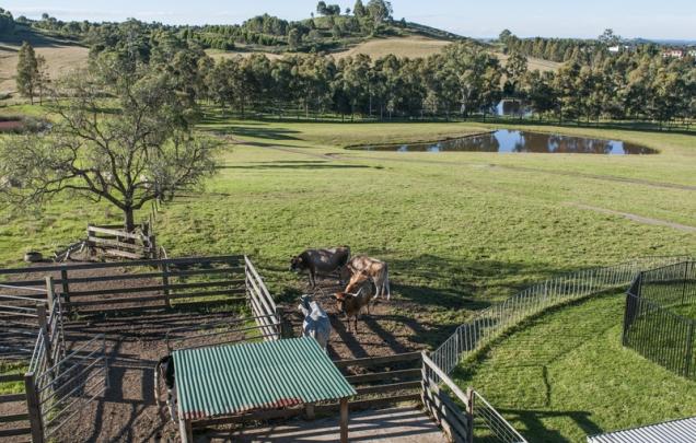
Source 5: Coonamble, New South Wales, ca. 2002 – 2005, photographed by Darren Clark
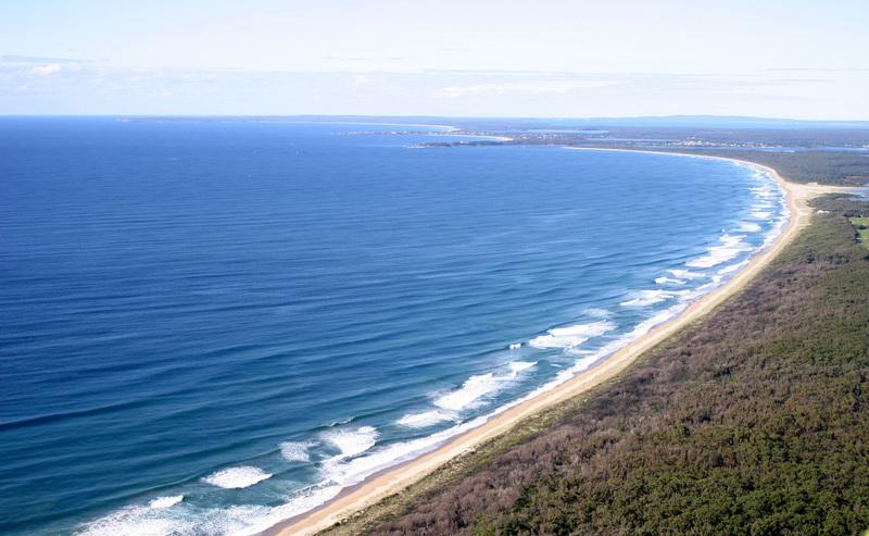
photographs of Shoalhaven Heads, 2004 / by Daryl Jones
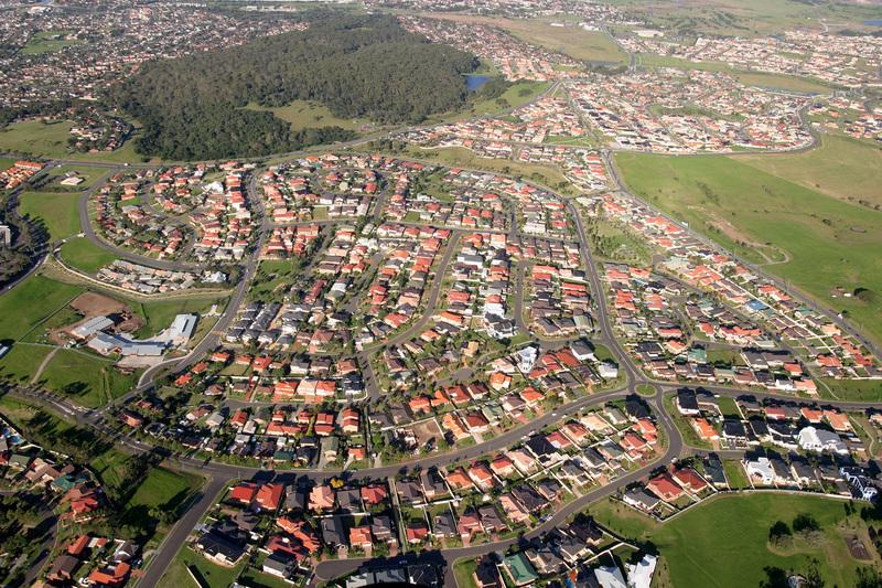
Aerial photographs of Barrack Heights, 2004 / by Daryl Jones
Facing west. Hunter Street, Union Street in middle distance
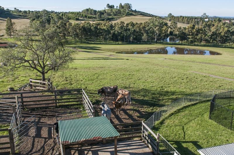
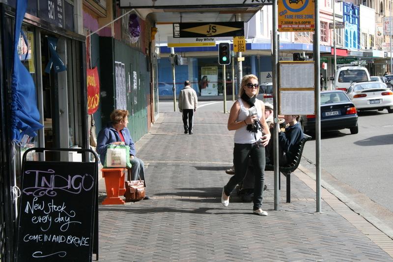
Observe Sources 1 to 8 collectively and discuss what each place is like and how each can be defined by scale (personal and local), and then answer the questions below.
Questions:
Observe
- Is this a built or natural place?
- What features do you see?
- Are there people? What are they doing?
Infer
- What is this place?
- What mode of transport do we use to move within this place?
- What activities would the people do in this place?
- How does this place provide for these activities?
- Is this place at a personal or local scale?
Task No. 2
Examining places
Using the table in the downloadable resource, cut and paste the images from Sources 1 to 8 into the correct row, there are clues to help you. Use the wordbank to complete the blank cells.